HORSE LAKE
Mormon Lake Arizona Trail Passage 30
 |
| Elk skeleton in Horse Lake: April 28, 2012 |
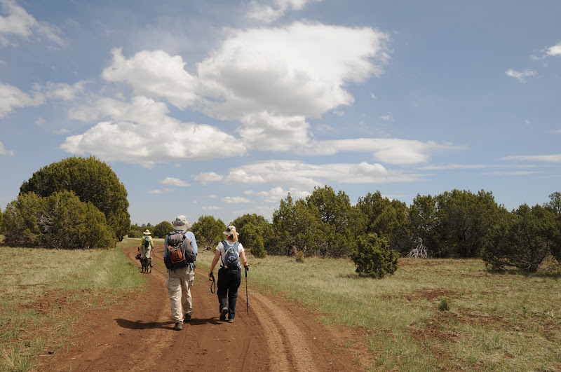 |
| Pinion pines and junipers on Anderson Mesa |
Triple digit heat has arrived in the Valley and with it
comes the annual hiking exodus to higher elevations. From October through April, we desert dwellers tend to
frequent hiking trails in an elevation range of 1,000-4,000 feet. Come May--we migrate. I don't know about you, but my first
few high elevation (7,000'+) hikes of the year leave me more breathless and more tired than
expected. That's why I like to do a couple of easy ones first. The mostly flat "plateau lakes" section of the
Arizona Trail-- commonly known as “Horse Lake”--fits this objective
perfectly. Part of 33.9-mile
passage #30 of the Arizona Trail (AZT), this easy-to-access route wanders past
three ponds (Vail, Prime and Horse) on the pine-pinion-juniper shaded meadows
of Anderson Mesa northeast of Mormon Lake. These fugitive "lakes" vacillate
between hip-deep pools and soggy swales in sync with rainfall. Regardless of water levels, the mesa
manages to stay moist enough to support plenty of flora and fauna. In late April, the meadows begin blooming and yesterday, we found lots of Woodhouse phlox, stem-less
daisies and yellow spiny daisies. Most hikers prefer to do this as key-exchange
trek, parking vehicles at both the Marshall Lake and Horse Lake trailheads
meeting in the middle for a 10.5-mile one-way hike. For our one-car day trip, we began at Horse Lake trailhead, hiked out
to Horse Lake and then doubled back.
Easy.
 |
| Hazy view of Flagstaff's San Francisco Peaks |
LENGTH: 7.6 miles roundtrip (as described here)
RATING: easy
ELEVATION: 7,090' - 7,142'
DOGS: leashed dogs allowed
BEST SEASON: Mid-April thru October
DISTANCE FROM PHOENIX: 160 miles one way
GETTING THERE:
Horse Lake (south) trailhead:
From Phoenix, travel north on I-17 to exit 339 for Lake Mary
Road located south of the I-40 junction
just before entering Flagstaff. Turn right and continue to
the bottom of the off ramp where there's a Circle store. Turn right again and go 16.3 miles
south on Lake Mary Road (FR3) to milepost 327 and turn right on FR82E (Ashurst
Lake/Pine Grove). The Horse Lake
trailhead is 0.7 mile ahead on the left.
Marshall Lake (north) trailhead:
From Phoenix, travel north on I-17 to exit 339 for Lake Mary
Road located south of the I-40 junction
just before entering Flagstaff. Turn right and
continue to the bottom of the off ramp where there's a CircleK store. Turn right again and go 10.5 miles to
FR 128 on the left (signs say observatory--it's easy to miss). Follow curvy FR 128 2 miles to the big
Marshall Lake sign/fence, turn left and continue less than a mile to the signed
AZT parking area.
INFO:
Arizona Trail Association:
Coconino National Forest, Flagstaff Ranger District: 928-526-0866
MORE PHOTOS:
0 comments:
Post a Comment