


Parson's Trail
Coconino National Forest
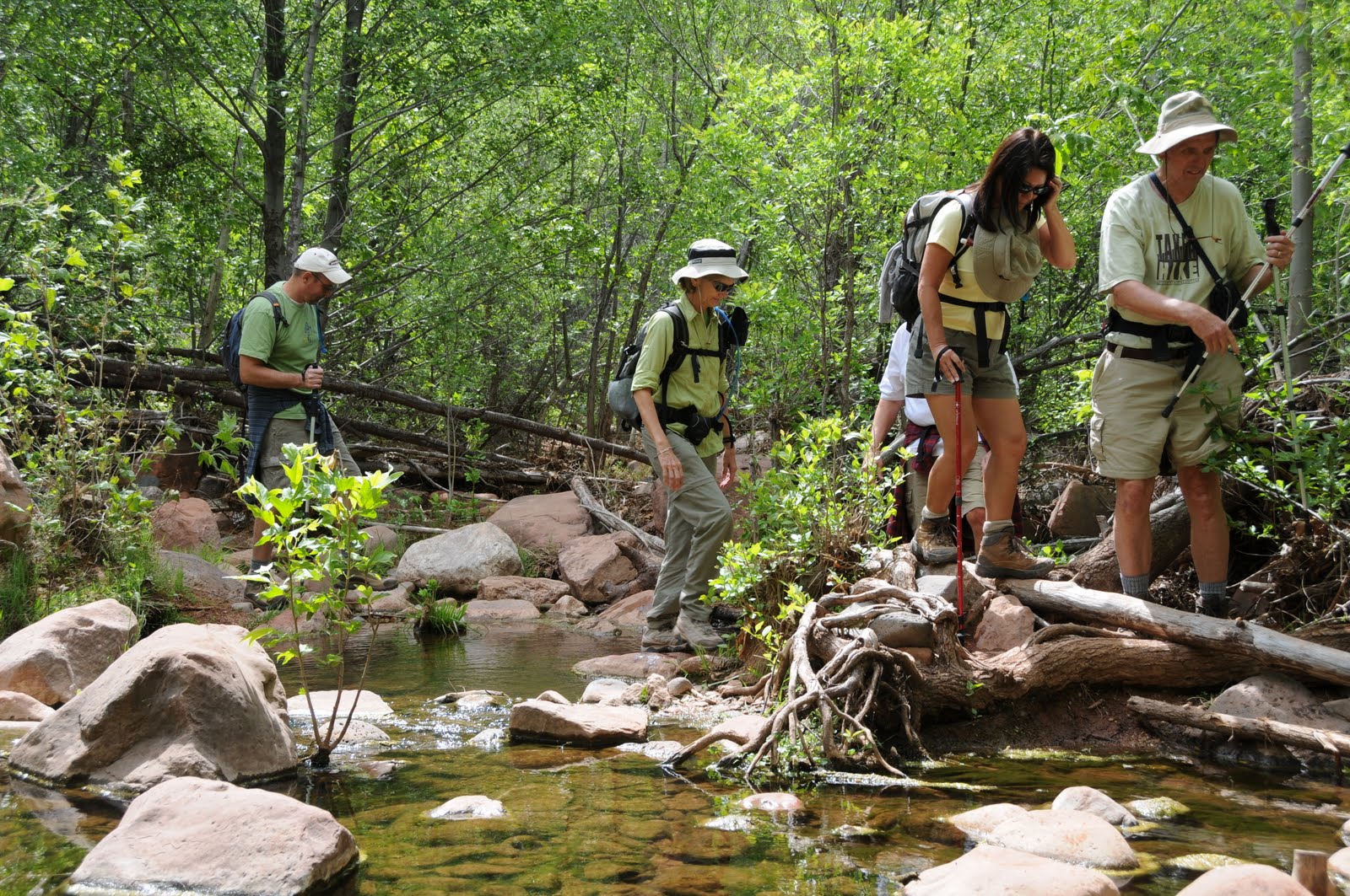
Revisited this remarkable canyon last summer and, as always, had a blast. Lots of water, massive red-rock cliffs, riparian forests and interesting geology make this hike a perennial favorite. Enjoy these new photos.
HIGHLIGHTS: Spectacular canyon, swimming holes, riparian forests
LENGTH: 7 miles roundtrip
ELEVATION: 3,700 – 3,200 feet
RATING: easy
DISTANCE FROM PHOENIX: 150 miles one-way
GETTING THERE:
From Phoenix, travel north on I-17 for 90 miles to exit 287 for AZ 260.
Go left (west) on 260 and continue for 14 miles to the town of Cottonwood.
Once in Cottonwood, go straight through town on Main Street and Broadway (US 89A) following the signs to Tuzigoot National Monument toward the town of Clarksdale. Turn right onto the signed road to Tuzigoot, cross the Verde River Bridge (at the half-mile point) and take the first left onto Sycamore Canyon Road (CR 139). The road turns into maintained dirt and then merges into Forest Road 131. Continue for 10.5 miles following the FR 131 and the Sycamore Canyon road signs to the trailhead where there are no facilities. The dirt roads are passable by sedan but a high-clearance vehicle is recommended.
INFORMATION: Red Rock Ranger District (928) 282-4119,
www.fs.fed.us/r3/coconino/recreation/red_rock/parsons-tr.shtml
0 comments:
Post a Comment