Monday, June 28, 2010

MORE SUMMER HIKING TRAILS!


PHOENIX magazine Summer Hiking Guide: ON SALE NOW. Don’t let triple digit summer temperatures put a damper on your hiking habit. Keep on trekking with the July issue of PHOENIX magazine which features 21 high-country trails-personally hiked and rated by yours truly--to help you beat the heat. Extra bonus: check out three of MY DOGS modeling hiking gear on page 47. AVAILABLE AT: Safeway, Fry’s Marketplace, Wal-Mart, Costco, Sam’s Club, Sunflower Markets, Sprouts, Borders, Barnes & Noble, CVS, Walgreen’s, Sky Harbor Airport, Albertson’s, Fresh & Easy, Lowe’s, Home Depot, Target, Whole Foods, Basha’s, A.J.’s, La Grande Orange, The Kitchen, and area hospital gift shops WEB SITE: http://www.phoenixmag.com/ ORDER BY PHONE: 480-664-3960

ICEHOUSE CANYON

ICEHOUSE CANYON TRAIL Pinal Mountains, Globe

FRIO FIRE Aug-Sept 2011:

this lightning caused fire has impacted this trail. INFO: Globe Ranger District, Tonto National Forest:
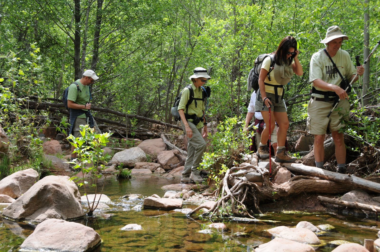
 928-402-6200.

FIRE ALERT: The Mill 2 Fire, a lightning-caused blaze which began July 10, 2010 is still active as of July 19, 2020. CHECK WITH THE FOREST SERVICE BEFORE visiting the Pinal Mountain ares: http://www.fs.fed.us/r3/tonto/home.shtml. It’s a bit tricky to stay on track, but with some attention to detail, hiking to the cool pockets of aspens and maples high on the slopes of the Pinal Mountains is an exhausting yet memorable adventure. From the trailhead, hike a short distance uphill along Forest Road 112 to the Telephone Trail on the right. Follow the Telephone Trail for two-tenths of a mile to the Icehouse Canyon Trail junction, hang a right and go downhill and through a dry wash. Next, pass through a cattle guard and continue up to the top of a rise. From there, go left and follow the road for a half-mile to a junction where there are spring-fed water troughs and salt licks for the domestic cattle (and black bears) that inhabit the area. Veer left and continue on the Icehouse Canyon Trail following the signs to FR 651 (7,560 feet), the turn around point for this hike. To visit Signal Peak (7,812 feet) and Pinal Peak (7,848 feet), continue up the road toward the radio towers and follow the signs. IMPORTANT NOTE: Pinal trails are notoriously overgrown and rife with obstacles. In addition, directional signage is sparse--so hikers must have excellent map and route-finding skills in order to safely navigate these trails. A good map resource is the National Geographic Maps, Salt River Canyon, Tonto National Forest #853. INFORMATION: www.natgeomaps.com/ti_853 LENGTH: 10 miles round trip ELEVATION: 4,520 – 7,560 feet RATING: difficult. BEST SEASONS: March - November (warm in summer) DISTANCE FROM PHOENIX: 95 miles one-way GETTING THERE: From Phoenix, take Highway 60 east to Globe. Once in Globe, follow the “Besh-Ba-Gowah Ruins, Globe Ranger Station” signs through downtown to Icehouse Canyon Road (FR 112). Turn right onto FR 112 and continue for 4.2 miles to the Icehouse CCC campsite which is indicated by a brown sign that says: “197, 192”. INFORMATION: (928) 402-6200, www.fs.fed.us/r3/tonto/recreation/rogs/hikingtrail/grd/IcehouseTrail198.pdf

HORTON CREEK-HORTON SPRING


Horton Creek-Horton Spring
Tonto National Fores
t
This popular trail never fails to please. Following shady Horton Creek for most of its length, this beautiful trail treats hikers to a non-stop show of waterfalls, fields of wildflowers, wild berries and forests of maples, alders and pines. The semi-grueling uphill jaunt pays off big time at Horton Spring where icy water gushing from a rock cliff tumbles over moss-encrusted boulders into the creek. Its impossible to get tired of this classic Arizona trail.


LENGTH: 8 miles roundtrip
ELEVATION: 5,360 – 6,420 feet
RATING: moderate
BEST SEASONS: March - November
DOG RATING: 3 paws
DISTANCE FROM PHOENIX: 108 miles one-way
GETTING THERE:
From the junction of AZ 87 and AZ 260 in Payson, go right (east) and continue on 260 for just under 17 miles (near milepost 268), turn left onto Fish Hatchery Road (Forest Road 289) and go 1 mile to the parking area. From the parking area, hike back down the road, cross the bridge and follow the road to the Horton Campground and the signed trailhead.
INFORMATION: Payson Ranger District (602) 225-5200, www.fs.fed.us/r3/tonto/recreation/rogs/hikingtrail/prd/HortonCreekTrail285.pdf

PARSONS TRAIL, MAY 2009


Parson's Trail
Coconino National Forest


Revisited this remarkable canyon last summer and, as always, had a blast. Lots of water, massive red-rock cliffs, riparian forests and interesting geology make this hike a perennial favorite. Enjoy these new photos.

HIGHLIGHTS: Spectacular canyon, swimming holes, riparian forests
LENGTH: 7 miles roundtrip
ELEVATION: 3,700 – 3,200 feet
RATING: easy

DISTANCE FROM PHOENIX: 150 miles one-way
GETTING THERE:
From Phoenix, travel north on I-17 for 90 miles to exit 287 for AZ 260.
Go left (west) on 260 and continue for 14 miles to the town of Cottonwood.
Once in Cottonwood, go straight through town on Main Street and Broadway (US 89A) following the signs to Tuzigoot National Monument toward the town of Clarksdale. Turn right onto the signed road to Tuzigoot, cross the Verde River Bridge (at the half-mile point) and take the first left onto Sycamore Canyon Road (CR 139). The road turns into maintained dirt and then merges into Forest Road 131. Continue for 10.5 miles following the FR 131 and the Sycamore Canyon road signs to the trailhead where there are no facilities. The dirt roads are passable by sedan but a high-clearance vehicle is recommended.
INFORMATION: Red Rock Ranger District (928) 282-4119,
www.fs.fed.us/r3/coconino/recreation/red_rock/parsons-tr.shtml

Monday, June 7, 2010

18 HIKES NOT FEATURED ON THIS BLOG!!


PHOENIX magazine
Summer Hiking Guide:
on newsstands June 24, 2010.

Don’t let triple digit summer temperatures put a damper on your hiking habit. Keep on trekking with the July issue of PHOENIX magazine which features 21 high-country trails-personally hiked and rated by yours truly--to help you beat the heat.
Extra bonus: check out three of MY DOGS modeling hiking gear on page 47.

AVAILABLE AT: Safeway, Fry’s Marketplace, Wal-Mart, Costco, Sam’s Club, Sunflower Markets, Sprouts, Borders, Barnes & Noble, CVS, Walgreen’s, Sky Harbor Airport, Albertson’s, Fresh & Easy, Lowe’s, Home Depot, Target, Whole Foods, Basha’s, A.J.’s, La Grande Orange, The Kitchen, and area hospital gift shops
WEB SITE: http://www.phoenixmag.com/
ORDER BY PHONE: 480-664-3960

Thursday, June 3, 2010

CRATER LAKE


CRATER LAKE
Coconino National Forest

In a ring of aspens and solidified lava, the water-filled vent of an ancient volcano serves as a hub of wildlife activity. A crumbling path of cinders leads to this hidden geological gem where the condition of the “lake” vacillates between a hip–deep pond and a swale of waterlogged grasses. Charred stumps and crumbling snags along the trail that climbs up the flanks of the crater are reminders of the 2000 Pumpkin Fire, which was caused by a lightning strike and burned 15,000 acres of the surrounding woodlands. Although devastating, the fire spared just enough forest round the lake to preserve an important wildlife sanctuary. A favorite watering hole for resident critters, a slew of muddy prints along the edge of this lava-borne tank will test your track identification skills.


LENGTH: 3 miles roundtrip (from FR760)
RATING: moderate
ELEVATION: 8,100 – 9,100 feet
BEST SEASONS: April - October
DISTANCE FROM PHOENIX: 165 miles
GETTING THERE:
From Flagstaff, go north on US180 18.5 miles to Forest Road 760 (just past milepost 234). Turn left and continue 2.2 miles on the good dirt road bearing left at all junctions to Forest Road 9009D. The sign for FR 9009D is located roughly 100 feet in from the road and is easy to miss. Those without 4-wheel-drive should park here and hike up the road. Adventurous drivers may opt to continue on FR 9009D for one mile, bearing right at the Forest Road 9111J junction to the starting point located near a sign that reads “motor travel restricted area notice ahead.”
HIKE DIRECTIONS:
From the “restricted” sign, veer right and hike uphill on the old log road. Hang another right at the “official notice” sign and follow the trail to a wire gate. Go though the gate and hike down into the crater.


INFORMATION: (928) 526-0866, or refer to the Coconino National Forest map